Photos of the Winter Storm of January 28-29th, 2014
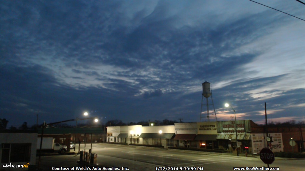
Ok, so this *pales* compared to NY, MN, MI, Super Bowl Sunday Shocked, etc., but for us down in south Alabama this isn't looking so great. It started sleeting early this morning with some very occasional light snow, this continued all day long. About 7pm it started snowing fairly heavily. Now, at 8:47pm it has turned into a light snow...looking at the radar the heavier winter-mix appears to the south of us. The first pictures during the daytime are pictures of sleet. Pictures start this afternoon a little before 3pm. There are a couple of captures from the weather cam after the daytime pictures...nasty weather for us southerners!This is early evening on Monday, January 27, 2014, the day before the winter storm hit.

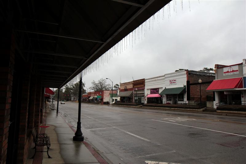
Looking out from beneath B&B Drugs' awning.


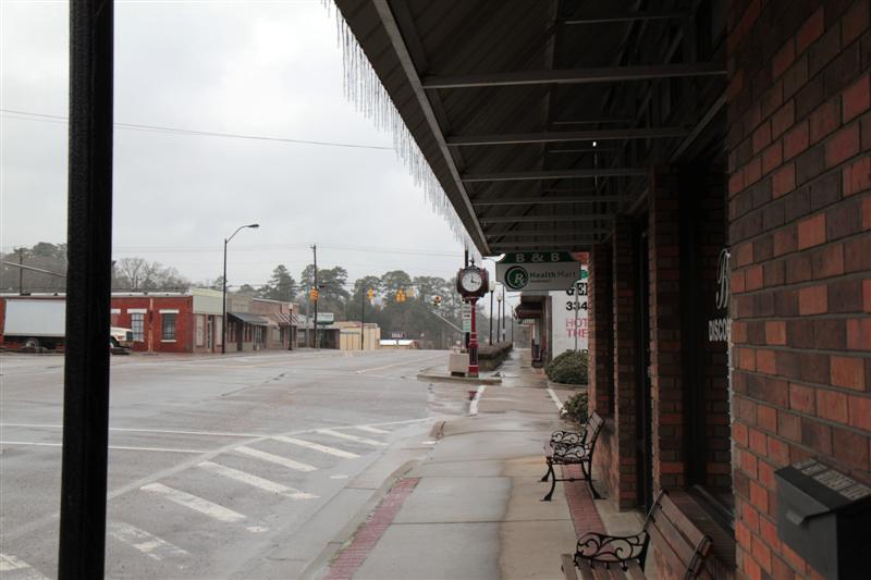
27F degrees on First Citizen's Bank clock at 3pm Monday afternoon...the temperature would drop to 19F by Tuesday morning...Tuesday night will be the killer cold, though. The sleet was coming down steadily and would build up significantly, only to be topped off with a layer of snow. From what I've seen out my way it looks like a total of around two inches of precipitation...most of it being sleet.
Our bee hives after getting their initial dusting of sleet...I'm hoping for the best with them!!!
The rain gauge is beginning to collect sleet...no snow has been seen, yet.
Looking off of our front porch...this is still only sleet.
Monday afternoon, again only sleet. This is a couple of miles on the west side of Rutledge looking down AL10 towards the west.
Downtown Luverne with a good coating of sleet...
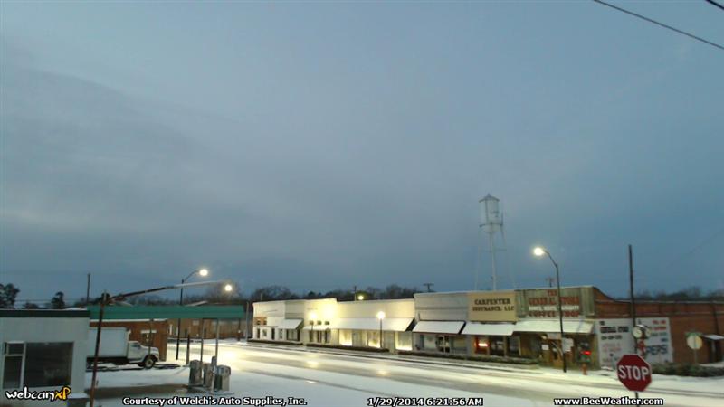
...and an hour later the snow is hitting.
A cold, icy Tuesday morning in downtown Luverne, Alabama.

Looking out at the frontyard and AL10 this morning.
A view like this out a window just *really* isn't what folks from the south wants to see!!!
Highway AL10 west of Rutledge, looking back towards the east...between .25" and .50" of ice.
Use extreme caution if you attempt to drive on this.
That is somewhere between .25" and .50" of packed ice you're looking at. It is almost 12:30pm Tuesday as I'm writing this and there are still *few* vehicles traveling the road.
Hopefully the honey bees are hanging in there!!!
The rain gauge caught more sleet and a little bit of snow.
The wx station keeps plugging along telling us just how cold it is!!!!
Hmm, might need the defroster...
Winter Storm January 28-29th, 2014
>>> Back to Top of Page <<<